Red Plate


Show all 3 images

Details
Description
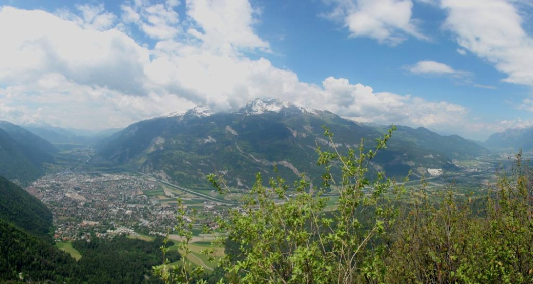
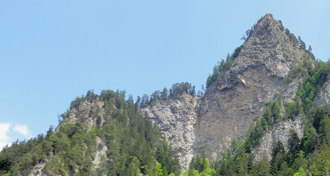
The starting point of the hike is at the Fürstenwald, which can be easily reached with the city bus line 2 out of the city. The hike first follows the wide forest road towards Mittenberg. About halfway through, the hiking trail branches off to the left to the Red Plate. The path becomes a trail and you dive deeper into the forest. Finally, you can see the Red Plate from below, before the steep ascent up there. The ascent can be quite slippery after rain or snow. The final ascent to the summit as well as the summit itself is exposed and only recommended for sure-footed hikers with a head for heights. The view from the summit of Chur and the Rhine Valley, however, is simply breathtaking. The descent follows the same route as the ascent.
Directions
Public Transport
Parken
Responsible for this content Chur Tourism.
This content has been translated automatically.

